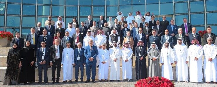
The Information & eGovernment Authority (iGA) represented Bahrain at the 11th meeting of the Arab Committee of the United Nations Experts on Global Geospatial Information Management (UN-GGIM) and its associated workshop held in Qatar.
The event was attended by Arab member states, industry specialists, and a representative from the Committee of Experts on Global Geospatial Information Management.
During the meeting, Bahrain was selected to chair the Integrated Geospatial Information Framework task force. Moreover, Dr. Shaikha May bint Mohammed Al Khalifa, Director of iGA’s Geographic Information Systems (GIS), has been acknowledged for her remarkable efforts and received recognition as an inspirational figure in the GIS field.
Dr. Shaikha May expressed her gratitude to the organising committee for hosting the event in Qatar, emphasizing the strong bonds and shared interests between the two countries.
She highlighted the meeting’s contributions to the development of geospatial information across sectors, including the Arab private sector, and the benefit of exchanging experience and best practices, as well as keeping up with the latest geospatial technology and infrastructure advancements, and fostering partnerships with government entities and member states.
Dr. Shaikha May showcased Bahrain’s successful geospatial data management experience during the Geospatial Data Basics in Geospatial Data Management session, highlighting the pivotal role of the National Spatial Data Infrastructure (BSDI) in enhancing government services for individuals and the private sector. The database has played a transformative role since its establishment in 2011, digitally connecting numerous national projects and services.
Dr. Shaikha May discussed the integration of geospatial support into projects such as the Benayat system, which streamlines building permit issuance. She underscored the significance of leveraging geographical data for efficient urban planning, including collaborative planning services and electronic service packages developed in partnership with the private sector. Furthermore, she emphasised how geospatial information empowers both the public and private sectors, especially when it comes to planning activities.
The agenda discussed an evaluation of the annual report on future trends of the Arab Committee and contributions by the United Nations and international organisations to the field of geospatial information. The Committee’s website was also launched during the meeting. Additionally, the discussion delved into Arab and international experiences in leveraging geospatial businesses, as well as the Integrated Framework for Geospatial Information. Participants shared their insights on geospatial data basics and standards, and the integration of geospatial and statistical information.
Furthermore, workshop outcomes were reviewed, including Arab private sector contributions to geospatial information, the utilization of geospatial data in disaster management based on the Asian experience, and the outcomes of the Integrated Framework for Geospatial Information workshop. The next meeting was scheduled at the conclusion of the event.
BNA(R)